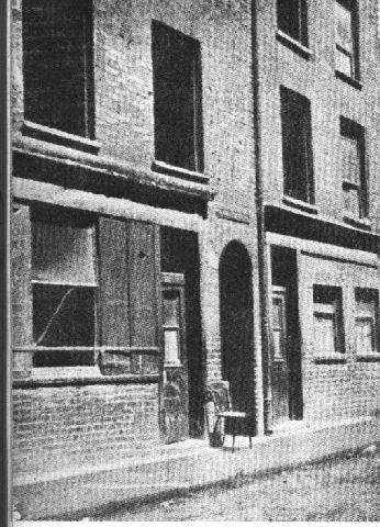
Above: Entrance to Miller's Court, the archway just beyond the chair. Taken from Dorset Street.
Above: Photograph taken the day of the murder of the outside of Mary Kelly's room. The rather low, smaller window on the right is the one Bowyer and McCarthy looked through. On the original print it appears that both panes of glass on the right side of this window are broken. The photograph was taken by the photographer brought in by the police. This building was demolished in 1928.

Above: Dorset Street, late 19th century.
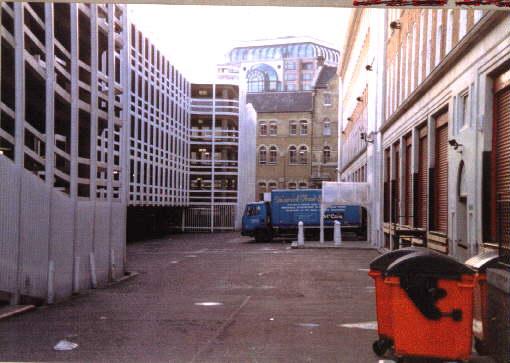
Above: The site where Mary Kelly's room once was (just past the orange dumpsters). It is now behind a car-park on White's Row. Photograph courtesy of Mr. Ivor Edwards.
Above: Another view of the estimated site. The three storey brick building in the rear of the photo is the Providence Row Night Refuge and Convent where Mary Kelly stayed at one time. Photograph courtesy of Mr. John Smithkey III.
Above: This photograph shows a close-up view of where 13 Miller's Court stood. It is believed the exact location of Mary Kelly's room was at the broken curb in the center of this photo. Photograph courtesy of Mr. John Smithkey III.
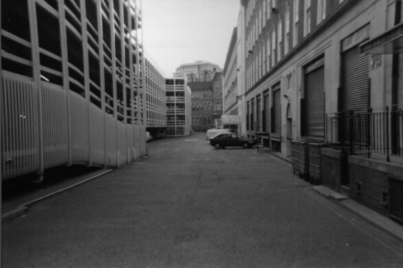
Above: A westward view of the area which was once known as Dorset Street, Spitalfields. The area is now a private alley running between a carpark on the south side and warehouses on the north side. A building which was once a women's refuge can be seen on Crispin Street at the far end of the picture. Miller's Court would have been along the stretch of the street now occupied by the green shutter doors. Taken: Thursday, May 13, 1999. Photograph courtesy of Johnno.
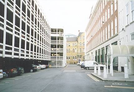
Above: An eastward view of the area which was once known as Dorset Street, Spitalfields. Commercial Street and some of the ground surrounding Christ Church can be seen at the far end of the picture. Taken: Thursday, May 13, 1999. Photograph courtesy of Johnno.
Above: A close-up view of the approximate location of Miller's Court in the area which was once known as Dorset Street, Spitalfields. This view looks eastward towards Commercial Street. Taken: Thursday, May 13, 1999. Photograph courtesy of Johnno.
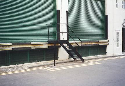
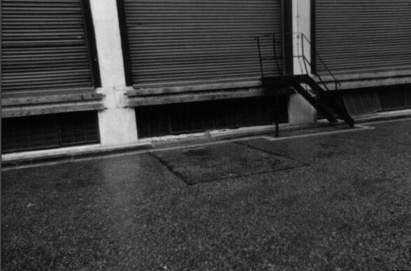
Above: A view of the approximate location of Miller's Court. This view looks slightly north-east. Taken: Thursday, May 13, 1999. Photograph courtesy of Johnno.
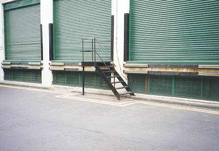
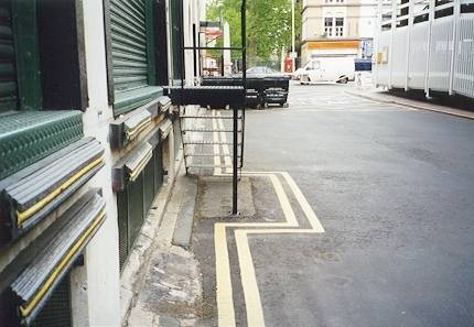
Above: A view of the approximate location of Miller's Court from the opposite angle, looking slightly north-west. Taken: Thursday, May 13, 1999. Photograph courtesy of Johnno.
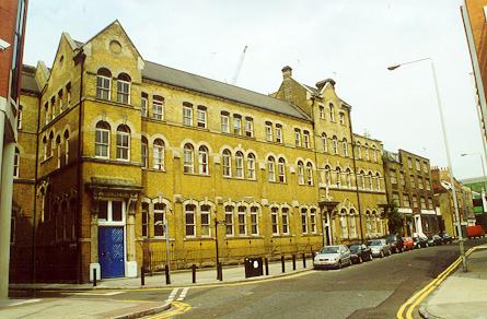
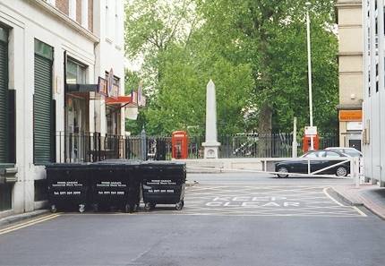
Crispin Street Women's Refuge. This Victorian building was once a women's refuge in Spitalfields. It is located on Crispin Street, a street perpendicular to the western end of Dorset Street. Taken: Thursday, 27 July, 2000. Photograph courtesy of Johnno.