Brick Lane
Brick Lane, whilst not particularly significant to the murders, is a busy
thoroughfare running south from Bethnal Green Road to Whitechapel High
Street, almost parallel to Commercial Street. Brick Lane is known for its
street market, and quite possibly may have been traversed by many an East
End prostitute during the 1880s. Brick Lane in 1999 was the target of a
bomb, detonated as an act of intolerance against the races of people living
and working in the area. The same bomber also detonated bombs at Brixton
and Soho.
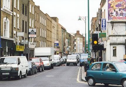
Above: A view of modern Brick Lane, Spitalfields. This view looks south
from the corner of Bethnal Green Road and Brick Lane. Taken: Thursday,
May 13, 1999. Photograph courtesy of Johnno.
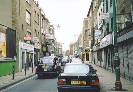
Above: A view of modern Brick Lane, Spitalfields. This view looks north
along the popular market street towards Shoreditch. Taken: Thursday, May
13, 1999. Photograph courtesy of Johnno.
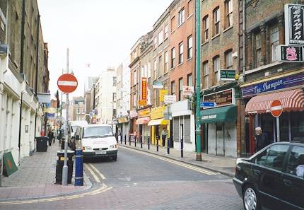
Above: A view of modern Brick Lane, Spitalfields. This view looks south
and was taken from the corner of Brick Lane and the eastern section of
Hanbury Street. Taken: Thursday, May 13, 1999. Photograph courtesy of
Johnno.
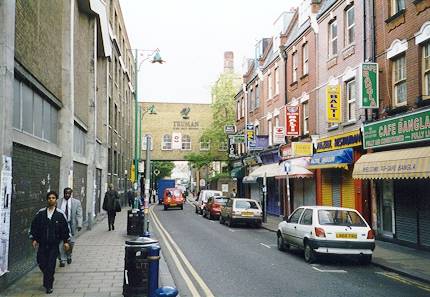
Above: Brick Lane, Spitalfields. This view looks north towards Bethnal
Green Road and was taken from the Hanbury Street exit. Truman Brewery's
building can be seen on the left side of the photograph, as well as in
the distance. Taken: Thursday, May 13, 1999. Photograph courtesy of
Johnno.